Projects
-

GIS ONLINE TRAINING SESSIONS
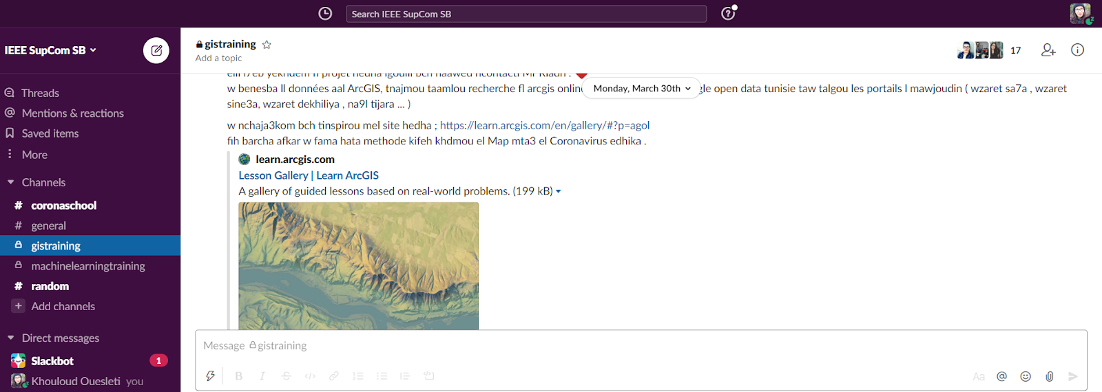
A Geographic Information System (GIS) is a framework gathering, managing and analyzing data. It integrates many types of data and inspects spatioal location and organizes layers of information into visualizations using maps and 3D scenes. In our 7 sessions long series of GIP workshops we went over different applications in which we used open source data. We analyzed patterns of hurricane evacuation routes in Houston, Texas and developed a map that tracks crime patterns in Lincoln. Also we used 3D technology to present information, as well as practicing the creation of a real-time Dashboard based on data feeds then finished up with building a story map about a scientific expedition to a Guatemalan volcano.
Read More -

N7EB N3AWEN
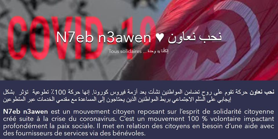
With the arrival of the holy month of Ramadan, the solidarity of Tunisians must be stronger than ever. N7eb n3awen is a citizen movement based on the spirit of solidarity between Tunisians created following the corona-virus crisis. It is a 100% voluntary movement deeply im-pacting social peace. It connects citizens in need of help with service providers & traders via volunteers. This platform will be visible at the national level but used above all at the commune level, on the one hand to be able to offer services close to citizens and on the other hand to be able to involve trusted volunteers from the same commune.
Read More
